43-40 I. Lemnos (Lemni)
| Department | Library |
|---|---|
| Collection | Map Collection |
| Object number | Section 24, No. 9 |
| Object | Map |
| Description | Coloured Map. K.u.k. militär-geographisches-Institut. Geripp: Aspir. J. Kempter. Terrain: Techn. Rat E. v. Mor. Berichtigt bis 1916. |
| Series Title | Austrian Military Generalkarte of Central Europe (revised) |
| Other Nbrs |
II.H.9 - Map Sheet |
| Place |
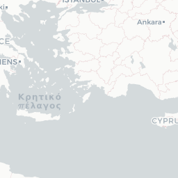
Limnos Island North Aegean Islands |
| Location | |
| Publication | Austrian Military Geographical Institute. 1916. |
| Scale | 1:200,000 |
| Coordinates | 40 30 00 N; 024 50 00 E 39 30 00 N; 025 50 00 E |
| Notes | The Austrian Generalkarte grid uses the Ferro Meridian which is approximately 18 degrees West of Greenwich. The line of longitude runs through the westernmost Canary Island, El Hierro (Ferro, or sometimes called the Meridian Island). This was a common Prime Meridian used in historical maps produced outside of the British Empire. |