


Refine search
Please note that there might currently be restricted access to some unpublished items
Section 40, No. 6
Aberdeen Section 40, No. 6
Aberdeen
Aberdeen Section 40, No. 6
Aberdeen
Coloured Map. Compiled and drawn in 1934, published in 1934, by the Ordnance Survey of Great Britain
Section 40, No. 7
Edinburgh Section 40, No. 7
Edinburgh
Edinburgh Section 40, No. 7
Edinburgh
Coloured Map. Compiled and drawn in 1929, published in 1930, by the Ordnance Survey of Great Britain
D 23
Map of British and Roman Yorkshire D 23
Map of British and Roman Yorkshire
Map of British and Roman Yorkshire D 23
Map of British and Roman Yorkshire
B&W Map of British and Roman Yorkshire with Roman roads marked in red. By C.Newton. Newspaper cutting “The Romans in Northumberland” included.
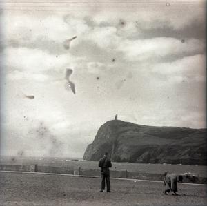
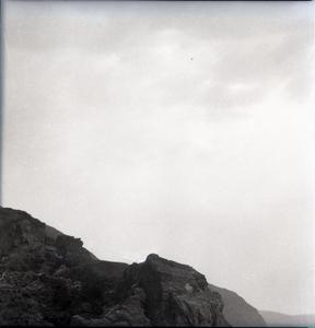
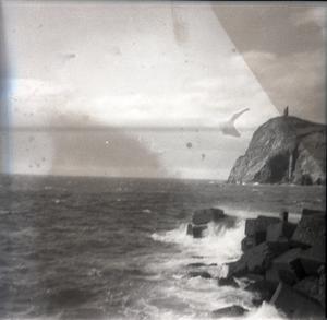
Photographic negative of 2 people (unidentified) on a beach, with a cliff in the background [in the United Kingdom, possibly a Pendlebury family holiday]
[PEN/7/1/9/25], Photographic negative of 2 people (unidentified) on a beach, with a cliff in the background [in the United Kingdom, possibly a Pendlebury family holiday], Undated
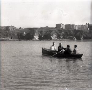
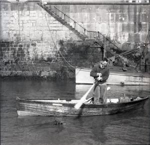
Photographic negative of 4 people (unidentified) in a rowing boat, near the coast [in the United Kingdom, possibly a Pendlebury family holiday]
[PEN/7/1/9/26], Photographic negative of 4 people (unidentified) in a rowing boat, near the coast [in the United Kingdom, possibly a Pendlebury family holiday], Undated
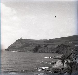
A cliff with houses built on top is in the background.
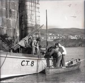
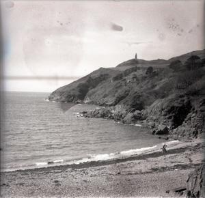
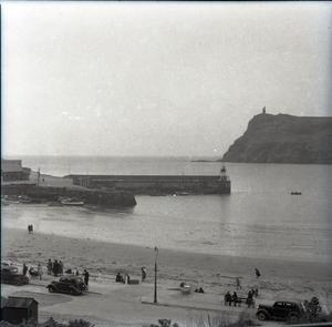
Photographic negative of a rowing boat and larger boat, with people (unidentified) on the coast [in the United Kingdom, possibly a Pendlebury family holiday]
[PEN/7/1/9/27], Photographic negative of a rowing boat and larger boat, with people (unidentified) on the coast [in the United Kingdom, possibly a Pendlebury family holiday], Undated
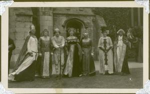
Photograph of a group dressed in medieval costume, outside a church [in the United Kingdom]
[PEN/7/2/3/433], Photograph of a group dressed in medieval costume, outside a church [in the United Kingdom], Undated
[Group possibly includes Hilda Pendlebury, relating to her involvement with drama societies].