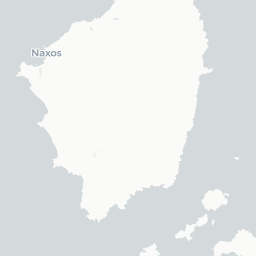


Keros Island Survey 2012-2013: Season 2013
Survey: Systematic fieldwalking survey
The second and final season of intensive survey. In addition to walking a further 445 tracts, including some of the more remote and mountainous parts of the island, intensive collection was carried out at 25 areas of interest, or polygons (complete collection was carried out in 5 m2 circles, with diagnostic ceramics and other special finds collected in 100 m2 squares). The survey overall has now defined and examined 26 polygons, concentrated mainly in the northwest coastal region but also found in most parts of the island apart from the furthest eastern areas. These represent areas of potential intensive, diachronic use over some 6.4% of the island's surface, with less intensive use, including agricultural use, documented by wider scatters and terracing. Most larger polygons exhibit use during different time periods, and the definition of sites within polygons during specific periods is a major aim of the forthcoming synthesis. The two Classical building complexes at Gerani and Megalo Kastro were planned, as were modern buildings at Konakia, tou Markou and the church of Panagia Hozoviotissa, and island-wide mapping of terracing features was completed. Ethnoarchaeological study sought to establish a reliable toponymy, obtain information on land use, and document the material culture and architectural remains abandoned during the last century. A systematic search was made for looted Early Cycladic cemeteries, recording cavities and structures, and relating them to finds from the intensive survey.
Active in 2013.
Renfrew, Professor Andrew Colin

